
We’re just back from a 1700 hectares survey using photogrammetry in Penajam, East Kalimantan. While it’s not the most suitable method to provide highly accurate topographic data, some of our clients stick to photogrammetry due to its relatively economic cost, and their primary needs is high resolution aerial photo mosaic. The client is a coal mining company which is expanding its operation area. We brought 2 DJI Phantom 4 to project site to speed up data collection process. We know that a fixed wing drone equipped with RTK would be the ideal solution here, but for the time being we are limited to those two trusted Phantoms.
A total of 26 GCPs were installed and surveyed. We flew our drone at 250 meters altitude to ensure good detail are captured.
|
Marco is surveying a GCP |
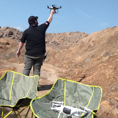
Tim is catching a black Phantom 4. |

The traditional GCP took us 3 days to finish, with additional 2 days to collect vertical ground test points along the hauling roads using the PPK method.
|
A truck with GNSS antenna mounted on it. |
Daniel was turning off GNSS unit at the base station. |


The result is quite good, and the client were quite satisfied with the data. Here's a snapshot of the resulting data.
 |

