
Mapping Solutions for You
We offer various mapping solutions customized to your needs using LiDAR Technologies that can penetrate high and dense vegetation to provides a high-accuracy detailed and precision topographic maps. We also offer solutions to fulfill your needs for photography and videography of construction sites inspection, 3d reconstruction of buildings, monuments, or survey areas, satellite imaging and more.
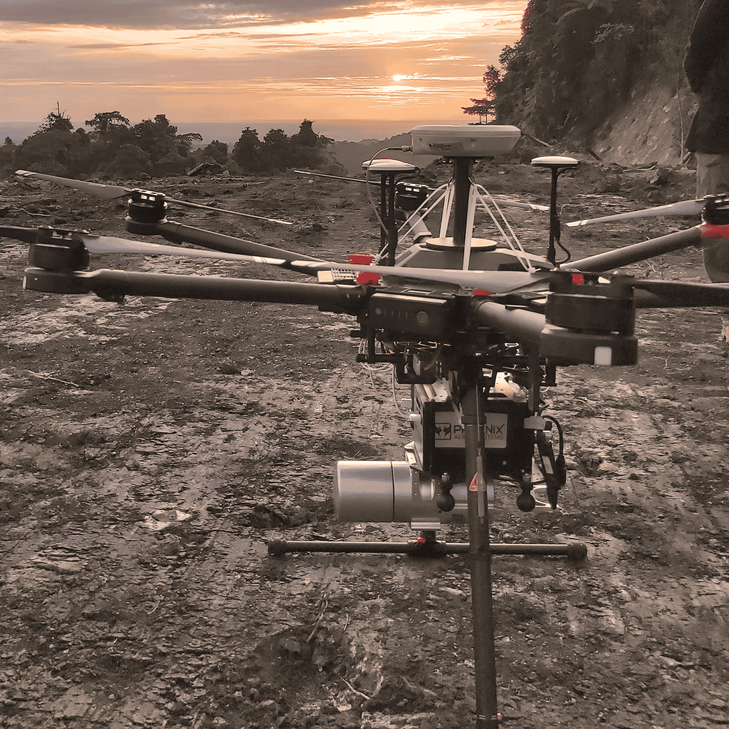
LiDAR Topographic Survey
We provide high-accuracy detailed topographic maps using UAV LiDAR for various needs.
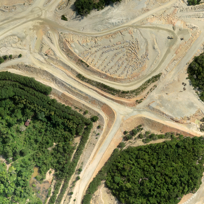
Aerial Photo and Video Survey
We provide aerial photo and video surveys for photogrammetry, site inspections, and more.

3D Reality Capture
We provide 3D Reality Capture and deliniation for construction planning or remodeling.

